Last Tuesday night into Wednesday brought active weather to Journal Country, with thunderstorm watches quickly escalating into warnings—one of which was a tornado warning issued for the Kidder and Veblen area. According to Marshall County Emergency Management Director Logan Roehr, the tornado was radar-indicated, and there were no confirmed sightings of a funnel cloud. However, with sheets of rain pouring down, visibility was limited and spotting anything would have been difficult. Eventually, a flash flood warning was issued as rain continued to fall heavily across the region.
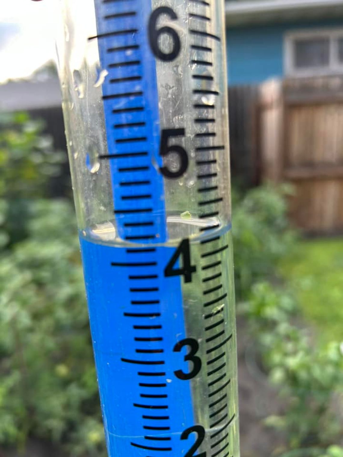
Rainfall totals from the storms varied widely across the county. Just some of the reports included 4.75 inches west of Britton, followed by 4 inches east of Kidder and near Amherst. Sunset recorded 3.80 inches, while the Britton airport measured 3 inches. Four Mile Lake also received 3 inches, and the city of Britton itself saw 2.85 inches. Roy Lake had reports of over 2 inches. Claremont came in at 2.44 inches, Langford at 2.2 inches, and southeast of Veblen at 1.3 inches. Grenville measured 1.5 inches, while Hecla had reports of around 1.3 inches.
According to the National Weather Service, Britton has received 22.49 inches of precipitation from January 1 to August 6—6.22 inches above normal for that time period, which is 16.27 inches. County-wide, rainfall is generally 3 to 6 inches above average, with slightly higher totals on the western side compared to the east.
As of this week, Britton set a record for August-to-date precipitation with 4.55 inches (record for August 1-12 only). However, the full-month August precipitation record still stands at 10.22 inches, set in 1942. The all-time precipitation record for January through August is 26.65 inches, set in 1916.


