")
Last week, it rained, rained and then rained some more.
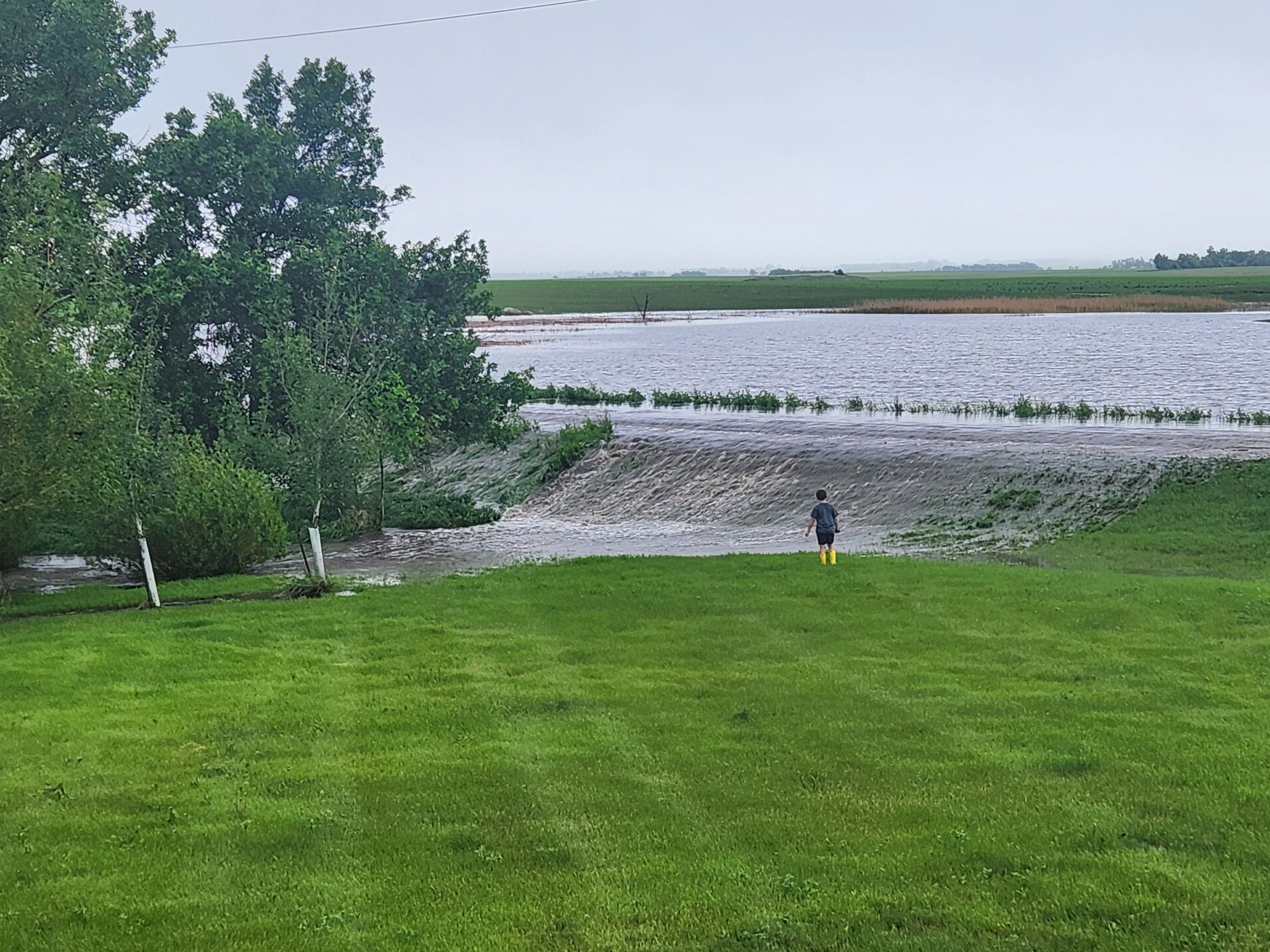
Rainfall totals varied widely across northeast South Dakota following recent storms late last week, according to reports submitted by area residents on various social media pages. Some communities saw minor amounts, while others recorded significant precipitation and localized flooding.
In Britton, reports included 4.25”, 6.0+” 8 miles south and 2 west, 5.0” on the west edge, 4.0” west of town, 4.35” in town, and 4.75” at the airport.
Langford received 4.22”. Claremont saw over 5.0”, 5.0” 1 mile north and 2 miles west, 6.85” in town, and 7.73” northeast of town. Amherst received 6.5”. Hecla reported 2.30”.
In Kidder, 2.1” was reported in town, and 1.9” north of town. Nearly 7.0” fell near Fort Sisseton. Veblen had 3.5” southeast of town.
At area lakes, 4.92” was recorded at Roy Lake, 5.0” west of Lake City, 3.1” at Cottonwood Lake, 5.0” in Clear Lake.
According to the National Weather Service out of Aberdeen, other significant amounts around Journal Country as of Friday morning –Wilmot – 7.45 inches; Sisseton 3 W – 4.63 inches; Browns Valley 6 N – 4.10 inches.
In the aftermath, parts of Marshall County experienced localized flooding and the National Weather Service issued a flash flood warning. Highway Superintendent Dustin Hofland said some secondary roads were temporarily underwater, with fields resembling lakes and creeks swelling to resemble rivers. He noted the worst-hit areas stretched from Eden westward and south of Britton. As of Monday, most of the standing water on roads had receded, and no road closures were in effect.
Additional rainfall over the weekend and into Monday added to already significant totals in some areas.
.jpg)